

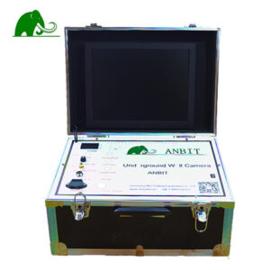
Components Of Automatic Mapping Mining Locator ANBIT-WT700
- POWER Light
- Main Switch
- Charging Hole
- USB Port
- MN port
- V+V-
- Test Light
- LCD touch screen
- System reset button
- Antenna
- Copper electrode
- Alloy electrode bar
- MN Plug
- Electrode cable
Advantages Of Automatic Mapping Mining Locator ANBIT-WT700
1. The instrument can automatic mapping and get result on site.
2. Apply to multiple and complex terrain exploration.
3. Selected the depth according to your demand, 150M/300M/500M/600M
4. It is intelligent and inexperienced people can learn the operation in five minutes.
5. Fast measurement, strong anti-interference ability, high accuracy
6. It widely used in the search for multi geological exploration of metal ores,non-metallic minerals, mineral veins direction
7. The free and professional technical guidance 24 hours online
Wiring Method
(M N are the elecrode, O is the measurement point, Point distance is 1-5m)
The data collected by the instrument each time is the midpoint data between the two electrodes. The electrode distance is 10m, and the distance between points is generally 1-5m (the standard is 1m).Electrode spacing and point spacing must keep the same distance for one measuring line.As the left picture shows.


评价
目前还没有评价